Comprehensive property surveys establishing exact boundaries and features for residential,
commercial, and government projects with detailed legal documentation.
Accurate documentation of existing conditions for renovation projects with both 2D floor plans
and immersive 3D models for complete spatial understanding.
Detailed terrain mapping showing natural and man-made features, elevation contours,
and other critical data for engineering and architectural planning.
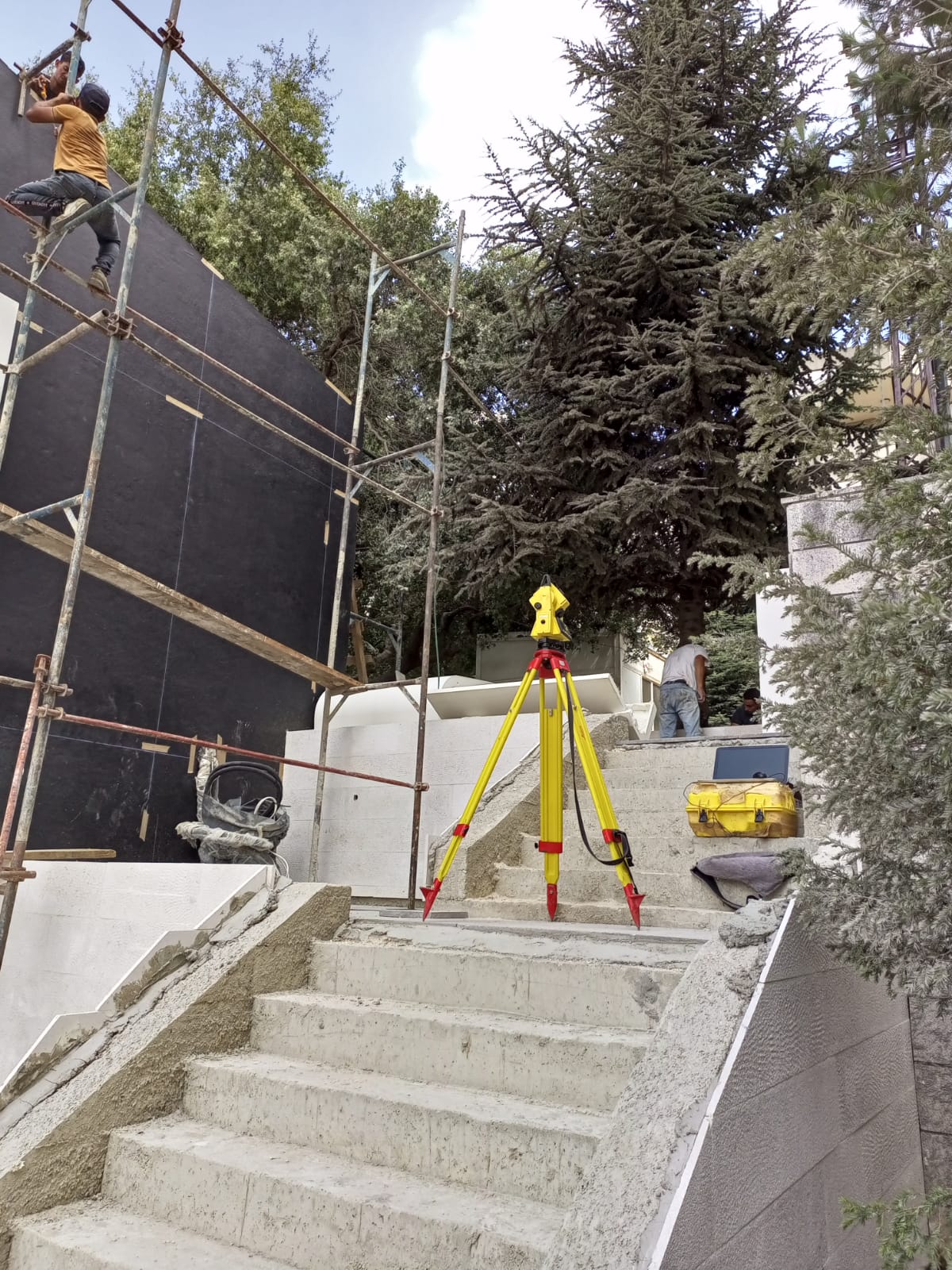
Precise layout services marking building locations, utilities, roads, and other elements
according to project plans to guide construction teams.
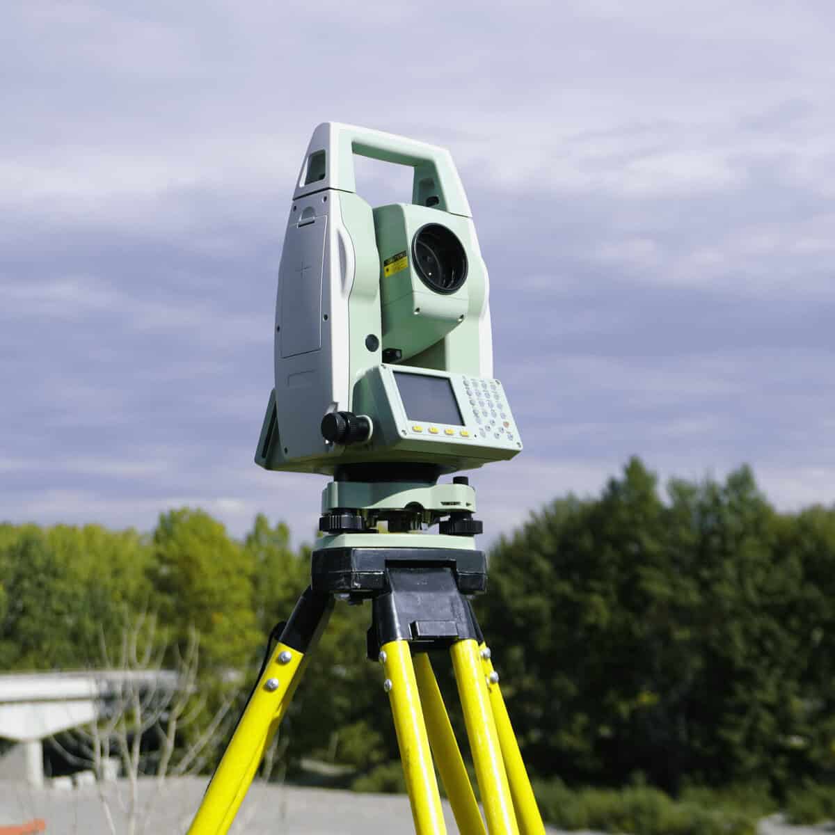
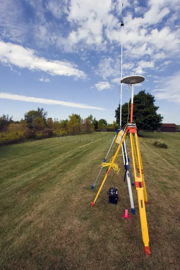
Large-area surveys accounting for Earth's curvature, used for infrastructure projects,
transportation routes, and regional planning with GPS precision.
Legal determination of property lines with monumentation and detailed plats for
property transactions, disputes, and development planning.
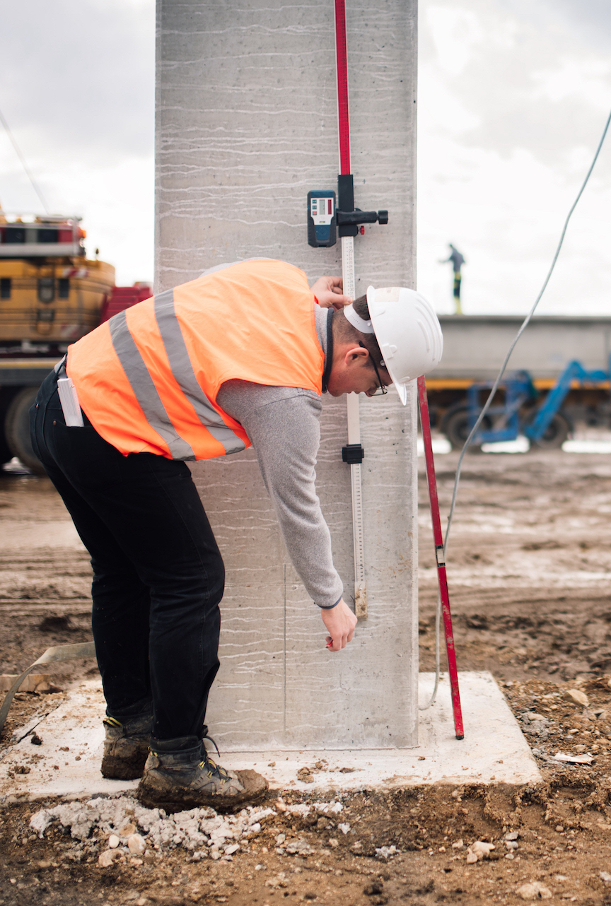
Precise vertical positioning services for flood zone determination, grading plans,
and construction elevation control using advanced leveling instruments.
Aerial data collection providing orthomosaics, digital surface models, and volumetric
calculations with centimeter accuracy for large or inaccessible areas.
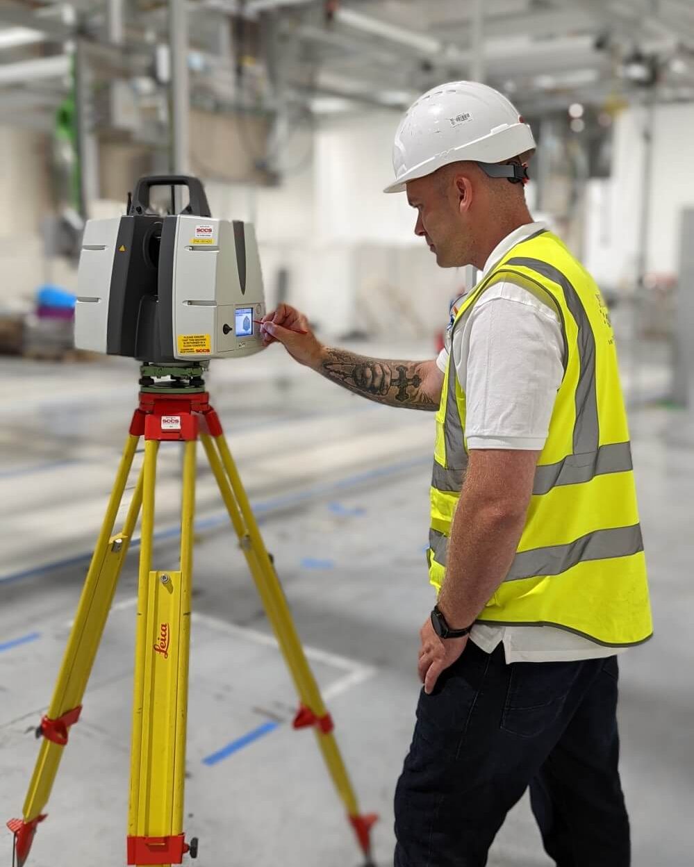
High-definition point cloud capture of complex structures for BIM integration,
historical preservation, and facility management applications.